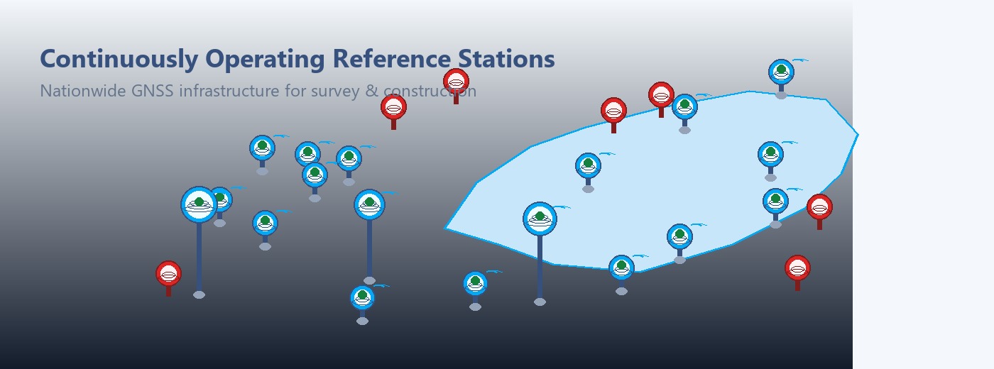
Centimeter-Level GNSS RTK Corrections Across Kenya

Connect your GNSS rover to Muya CORS and access reliable real-time correction services for surveying, construction, mapping, agriculture, GIS, mining and machine-control applications.

24/7 RTK Access
±1 cm Survey Accuracy
NTRIP Compatible
RINEX Archive & Post-Processing
Nationwide CORS Network
Trimble, Leica, FOIF & More
69+
CORS Stations
24/7
RTK Access
±1 cm
Survey Accuracy
NTRIP Compatible

About Us

Established by Measurement Systems Ltd, Muya CORS is a network of Continuously Operating Reference Station (CORS) providing Real Time Kinematic (RTK) Global Navigation Satellites Systems (GNSS) positioning solutions throughout Kenya.  Muya CORS delivers less than a centimeter level positioning accuracy anywhere within her network, eliminating the need to setup and maintain a temporary base station as is traditionally being used in base/rover systems.

Muya CORS base stations coordinates are computed regularly using very accurate, robust, and stable GNSS processing software in the market including OPUS-National Geodetic Survey of USA, Trimble RTX online processing services based on ITRF2014 and current observation epoch. This allows users with different coordinate systems requirements to use it including WGS84 and Kenya Arc 1960 datum projected to both UTM and Cassini Soldner projections.

Muya CORS supports any application requiring positioning solutions on and above the earth surface including surveying & mapping, engineering, construction, structure and earth crust deformation monitoring, atmospheric and weather monitoring, Machine Control (Agriculture & Construction), precise tracking (Fleet Management), amongst other applications.

Muya CORS is currently using over 69 base stations in Kenya.

Quality of Service Assurance

Every Muya CORS reference station is monitored, calibrated, and backed by redundant infrastructure so your survey, mapping, and machine-control work can rely on consistent, audit-ready positioning data.

99.9% Network Uptime SLA Sub-Centimeter RTK Accuracy 24/7 Network Monitoring Redundant Base Station Coverage RTCM 3.x / NTRIP Caster Compliant Dedicated Technical Support
About Us

CORS Application

The primary use of the CORS network is survey work which is meant to ensure accurate positioning of land parcels, densification of national geodetic control networks, and to locate, map and direct the construction of infrastructure such as roads, railways, mines, bridges, dams and pipelines.

  • Surveying
  • Mining
  • GNSS Location Based Services
  • Defense and public security
  • Geodynamics
  • Agriculture
  • Climate
  • Scientific research
  • Geolocation of Aerial Moving Platforms
 
CORS network benefits

Benefits of Muya CORS Network

These include but are not limited to:

  • Eliminates the need for a base/rover system, requires only a single rover
  • Your base/rover systems can be converted in two rovers and therefore two field team
  • Supports all GNSS rover receiver
  • Eliminates chance of theft or damage of base as used in base/rover setups
  • Reduces equipment cost by 50%
  • Reduces equipment setup time and other field logistics by 50%, no base required!
  • Eliminates the costs related with base in base/rover setups including time, security, labor and transport
  • Reduces your equipment inventory

How GNSS CORS Works

From satellites to centimeter-level RTK positioning

Muya CORS connects fixed GNSS reference stations, correction processing and NTRIP delivery so field teams can receive real-time corrections directly on compatible rovers.

1

GNSS Satellites

GNSS satellites transmit positioning signals continuously from orbit.

2

CORS Stations

Fixed CORS stations observe and process satellite reference data at known positions.

3

NTRIP Delivery

Corrections are processed and delivered through the Muya CORS NTRIP server over internet or mobile data.

4

RTK Fixed

Your rover receives corrections and achieves centimeter-level RTK fixed positioning.

RTK Fixed • ±1 cm accuracy where conditions allow

CORS Network Coverage

Explore Muya CORS station coverage across Kenya. Coverage and performance depend on station availability, field conditions, equipment configuration and network connectivity.

CORS station online (GNSS antenna with signal) CORS station offline (GNSS antenna — no signal) Control point / fixed reference
Check Coverage

Our Services

Subscribe to our services.

RTK Corrections

RTK Corrections

Muya CORS provides Real-Time Kinematic (RTK) corrections and Post-Processing (PP) services utilizing a network of Continuously Operating Glo...

Get Service

Rinex Data

Rinex Data

Muya CORS archives data for all its CORS stations in the Receiver Independent Exchange (RINEX) format.  RINEX is an internationally recogniz...

Get Service
Cors Installation

Cors Installation

Muya CORS supplies, installs, maintains and manages a network of Continuously Operating Reference Stations (CORS) that provide Global Naviga...

Get Service
GNSS Training

GNSS Training

Muya CORS offers GNSS Training packages designed for existing surveyors and engineers. A basic understanding of survey or setting out practi...

Get Service

Free GNSS RTK CORS Configuration

MUYA CORS provides free GNSS Configuration for clients GNSS equipment independent of any brand or manufacturer at no cost.

Supported Equipment

Muya CORS is compatible with major GNSS equipment brands. Free rover configuration assistance is available for all supported equipment.

Brands listed here match the RTK receiver list in system settings — new manufacturers appear automatically when added by your administrator.

Configuration assistance available at no additional cost for all listed brands.

View RTK setup guides Request Configuration

Industries & Applications

Muya CORS supports professional GNSS workflows across a wide range of industries and field applications.

Land Surveying
Engineering Survey
Construction Layout
Road & Infrastructure
GIS & Mapping
Agriculture Guidance
Mining & Quarry
Machine Control
Drone Ground Control
Utility Mapping
Cadastral & Property Survey
Deformation & Structural Monitoring
Hydrographic & Bathymetry
Environmental & Conservation
Disaster & Emergency Mapping
Pipeline & Energy Corridors
Solar & Wind Farm Layout
Telecom & Tower Surveys

GNSS Brand Setup Guides

Step-by-step NTRIP connection illustrations for popular rover brands. Log in to view full configuration templates for your manufacturer and model.

Connectivity guide (GSM & Wi-Fi) Coordinate Systems Guide

SinoGNSS

SinoGNSS NTRIP setup

Configure network corrections / NTRIP in SinoGNSS SurvX or equivalent.

  1. Open NTRIP / Internet corrections on the receiver or controller.
  2. Enter the Muya CORS host and port from your portal credentials.
  3. Use your Muya CORS username and receiver password.
  4. Select mountpoint RTCM3 (or AUTO / nearest where supported).
FOIF

FOIF NTRIP setup

Configure network RTK / NTRIP in FOIF GeoSurv or compatible field software.

  1. Open NTRIP / Internet corrections on the receiver or controller.
  2. Enter the Muya CORS host and port from your portal credentials.
  3. Use your Muya CORS username and receiver password.
  4. Select mountpoint RTCM3 (or AUTO / nearest where supported).
TokNav

TokNav NTRIP setup

Add an NTRIP client connection in TokNav GNSS field software.

  1. Open NTRIP / Internet corrections on the receiver or controller.
  2. Enter the Muya CORS host and port from your portal credentials.
  3. Use your Muya CORS username and receiver password.
  4. Select mountpoint RTCM3 (or AUTO / nearest where supported).
Others

Other GNSS brands

Generic NTRIP setup steps for other supported GNSS receivers and controllers.

  1. Open NTRIP / Internet corrections on the receiver or controller.
  2. Enter the Muya CORS host and port from your portal credentials.
  3. Use your Muya CORS username and receiver password.
  4. Select mountpoint RTCM3 (or AUTO / nearest where supported).

Frequently Asked Questions

Muya CORS supports most GNSS receivers capable of NTRIP connectivity, including equipment from Trimble, Leica, FOIF, SinoGNSS, ComNav, South, Kolida, Hi-Target, Topcon, Stonex, E-Survey and others. Configuration assistance is available at no cost.

No. Muya CORS replaces the need for a temporary base station. A single rover with NTRIP connectivity is sufficient for RTK correction workflows, which also reduces equipment cost and field setup time.

Yes. Muya CORS provides free GNSS RTK rover configuration assistance for supported equipment, independent of brand or manufacturer. Contact support or use the Request Configuration option.

Yes. RINEX observation data is available for download from CORS stations for post-processing, geodetic control and quality assessment purposes. Access is provided through the client portal.

Muya CORS provides coverage across Kenya through a growing network of Continuously Operating Reference Stations. Coverage areas and station status are shown on the CORS Map.

Muya CORS supports standard coordinate systems including WGS84, Arc 1960 and other national reference frames as configured on your GNSS receiver or field software.

Register for a Muya CORS account, verify your contact details, and select a subscription plan from the client portal services section. Configuration assistance is included.

NTRIP (Networked Transport of RTCM via Internet Protocol) delivers real-time GNSS correction data to your rover. Muya CORS uses NTRIP so your receiver can achieve RTK fixed positioning without setting up a local base station.

Use the nearest-base port for automatic selection of the closest CORS station, or the single-base port when your workflow requires a fixed reference station. Connection details are shown in the client portal and in your receiver setup guide.

Under good satellite visibility, low multipath and stable internet, compatible rovers typically achieve centimeter-level horizontal accuracy when RTK fixed. Field conditions, equipment and configuration all affect results.

Yes. Business and team accounts can register multiple GNSS receivers, manage subscriptions per machine and monitor usage from the client portal.

Corrections stop when the active licence expires. Renew through the client portal services section or contact support before field work to avoid downtime.

Yes. RINEX observation downloads and post-processing services are available for workflows that do not require live RTK, including control surveys and quality checks.

Open the CORS Map in the client portal to view online and offline stations, control points and nearest-station lookup for your area.

Yes. Muya CORS provides free configuration assistance for supported GNSS brands. Use the setup guides on this page, the receiver dashboard after login, or contact support.

Contact Us

Need help with RTK corrections, CORS coverage, RINEX data, rover configuration or GNSS training? Contact the Muya CORS team for support.

Location

Muya CORS
Hse 50, Mukima Estate Opp. Sunstar Hotel, Along Garden Estate Rd, Near Roasters., Nairobi

Call Us

+254 735 445 622 or +254 111 433 499 or +254 798 519 942

Send Message

Fill in the form below and our team will get back to you as soon as possible.

Take Muya CORS with you

Install our Android app for map browse, RTK subscriptions, invoices, and field notifications — the same account as this portal.

Sign in with the same email and password as the web portal.